The Greenway Walk
A raised Victorian sewer embankment turned walking and cycling route across Newham, with wildflower verges and views of Abbey Mills.
By the Ledger desk2 min read
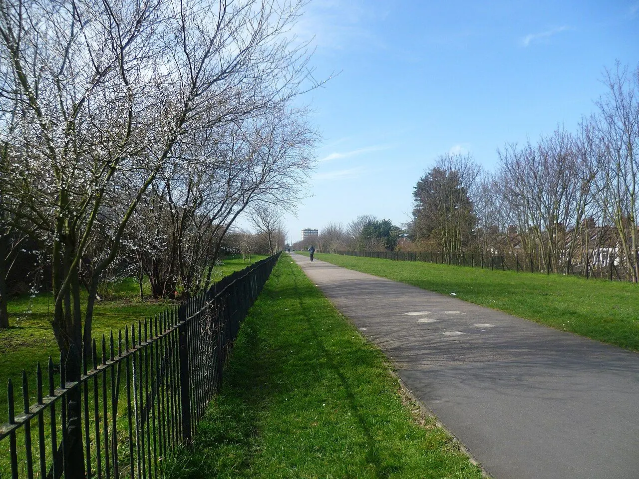
Photo: Marathon / Wikimedia Commons, CC BY-SA 2.0
The Greenway is a traffic-free walking and cycling path, about 7 km long, running on top of Joseph Bazalgette's Victorian Northern Outfall Sewer from Bow through Newham to Beckton, but sections can close for sewer repairs, so check before you set out.
A path on top of a Victorian sewer
The Northern Outfall Sewer was built between 1860 and 1865 as part of Bazalgette's scheme to carry London's sewage east, away from the centre, and helped rid the capital of cholera outbreaks. It was expanded in the 1910s and is still in use, owned and operated by Thames Water. For generations the raised embankment was known locally as the Sewerbank; it was renovated and renamed the Greenway in the 1990s, and improved again alongside the development of the Olympic Park.
Route and what you see
The route runs from the Wick Lane end in Bow, close to the Olympic Park, across Newham to Beckton. It forms part of the Jubilee Greenway, the Capital Ring walking route and Cycleway 22, and Newham Council's Greenway Pollinator Trail adds over 6 km of wildflower verges planted for bees, butterflies and moths. Along the way walkers pass Abbey Mills Pumping Station, Bazalgette's ornate Victorian pumping station, as well as the Memorial Grounds and East London Cemetery. Some signage is made from old sewer pipes, and the vents along the path are a reminder of what lies beneath.
Closures and practical tips
The Greenway is a permissive path, not a public right of way. Because it sits on critical infrastructure, Thames Water must close sections from time to time for maintenance, inspections and repairs. A major programme of repairs to the sewer and to bridges at Manor Road and Corporation Street, which began in September 2024, closed the stretch between Channelsea Path and Upper Road, with signed diversions for walkers, cyclists and wheelchair users.
The path is shared by people on foot, on bikes and in wheelchairs, so cyclists should ride at a considerate speed. The route is well served at several points by the District, Hammersmith & City, Jubilee and Central lines and the DLR, which makes it easy to walk one section and take the train back.
Before any walk or ride, check Newham Council's Greenway closure page and Thames Water's project updates for the latest closures and diversions, follow on-site signs, and allow extra time.
General information, checked against the sources below at the time of writing. Rules, rates and deadlines change, often each April; confirm with GOV.UK, the council or the organisation concerned before you rely on them. For advice on your own case, Citizens Advice is free.